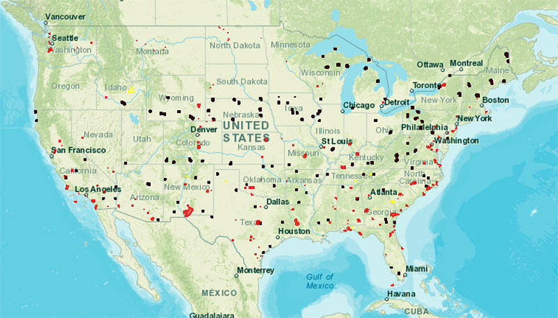
Home FAA Restricts UAS/Drone Operations Over DOE Facilities (Learn More) Visualize it: See FAA UAS Data on a Map (Courtesy of the FAA) and available at https://uas-faa.opendata.arcgis.com/)

Visualize it: See FAA UAS Data on a Map (Courtesy of the FAA) and available at https://uas-faa.opendata.arcgis.com/)

Visualize it: See FAA UAS Data on a Map (Courtesy of the FAA) and available at https://uas-faa.opendata.arcgis.com/)
U.S. national security and law enforcement agencies have expressed concerns about unauthorized drone use over DOE (Department of Energy) facilities. To address these concerns, FAA has announced that they are restricting drone flights above seven nuclear facilities in the U.S.