Leidos, a FORTUNE 500 science, IT, and engineering leader, has been awarded a $200 million hybrid contract to support geospatial requirements, standards and systems across the U.S. Army.
The multiple-award, follow-on contract has a potential five-year period of performance and work will be performed in Alexandria, Va.
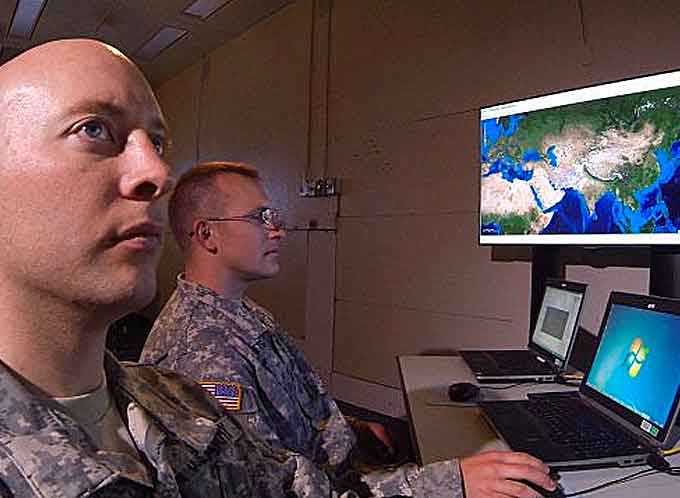
Under the contract, Leidos will continue to provide technologies and expertise to support the U.S. Army’s ongoing geospatial research, integration, development, and operational requirements at the U.S. Army Geospatial Center (AGC) at Fort Belvoir.
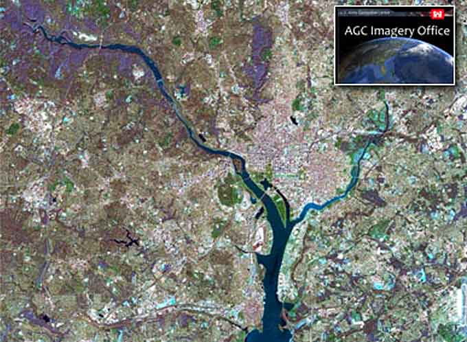
AGC´s expertise encompasses the collection, use, storage, and distribution of aerial and satellite imagery and sensor data from electro-optical, hyperspectral, LIDAR, and other geo-sensors from the open and unclassified to the highly secured environments; hosting the Buckeye collection platform; and research into multi-sensor environments and analysis.
(Learn More. The U.S. Army is a leader in Geospatial technology creating new capabilities while also using existing technologies to collect data to develop imagery and maps. The Army is developing computer software and hardware to support tactical challenges as well as supporting humanitarian missions. Courtesy of the US Army and YouTube)
AGC is instrumental in the Army´s Geospatial Enterprise, the Army Geospatial Governance Board, standards and requirements for systems using geospatial information, and geospatial data formats and tools.
Leidos will also develop geospatial enterprise-enabled systems for the Army and other Department of Defense (DOD) and non-DOD entities.

“We are proud of the twenty five years of support we’ve provided to the Army’s geospatial work, helping deliver innovative intelligence capabilities into the hands of the Army warfighter,” said Mike Chagnon, Leidos Advanced Solutions Group President.
“Across the geospatial community, Leidos continues to innovate on behalf of our customers, delivering technologies and expertise focused on their unique missions.”
AGC´s expertise also encompasses terrain algorithms; design, development & deployment of systems for terrain reasoning & management; human, urban, and physical terrain data collection, production, management, analysis, & distribution; 2D & 3D terrain visualization research, systems and services; and global positioning and portable terrain systems & services.
(Learn More. Army Geospatial Center coordinates, integrates and synchronizes geospatial information requirements and standards across the Army. Courtesy of the Army Geospatial Center and YouTube)
AGC´s expertise also encompasses the design, development, fielding, and home station support of terrain, hydrological, navigational, imagery, and command & control systems.

Leidos, headquartered in Reston, Virginia supports vital missions for government and commercial customers.


