


When first responders are on a mission, being able to quickly and easily track their locations and the locations of their fellow responders can be challenging, especially in situations where the team is spread out.
Many responders are only able to coordinate their locations by radioing each other or the command post and providing a very detailed message on their exact location.
This can be time consuming and can change every second if they are in an emergency situation or on a call.
Recognizing these limitations, the Department of Homeland Security (DHS) Science and Technology Directorate (S&T), a Four-Time Platinum Award Winner in the 2017 ‘ASTORS’ Homeland Security Awards Program, funded the development of the Watchtower mobile application.
(The Next Generation First Responder (NGFR) Apex Program seeks to help tomorrow’s first responder be more protected, connected and fully aware. Courtesy of the DHS Science and Technology Directorate and YouTube. Posted on Oct 18, 2017.)
The Watchtower mobile application is available, free of charge for all public safety users.
The Watchtower app also tracks critical vitals, such as heart rates and oxygen levels, during routine and strenuous situations, potentially saving lives.
It connects body-worn and other physiological-monitoring sensors using a smartphone’s Bluetooth to a dashboard, allowing users to track vitals and make informed decisions.
Through this dashboard, if a responder’s vital signs indicate trouble, the responder can be evacuated and receive medical attention.
The Watchtower app allows users to:
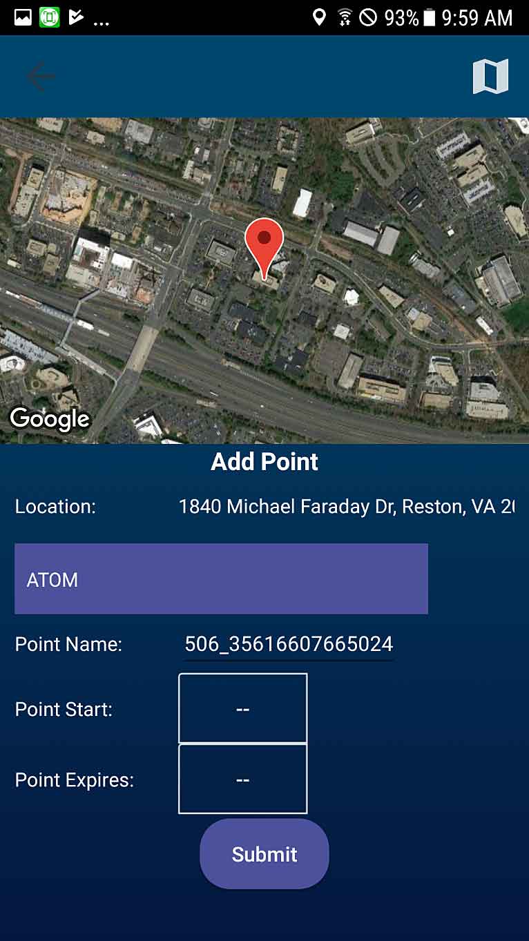
- Uniquely identify other Watchtower users and display identities on the operational dashboard;
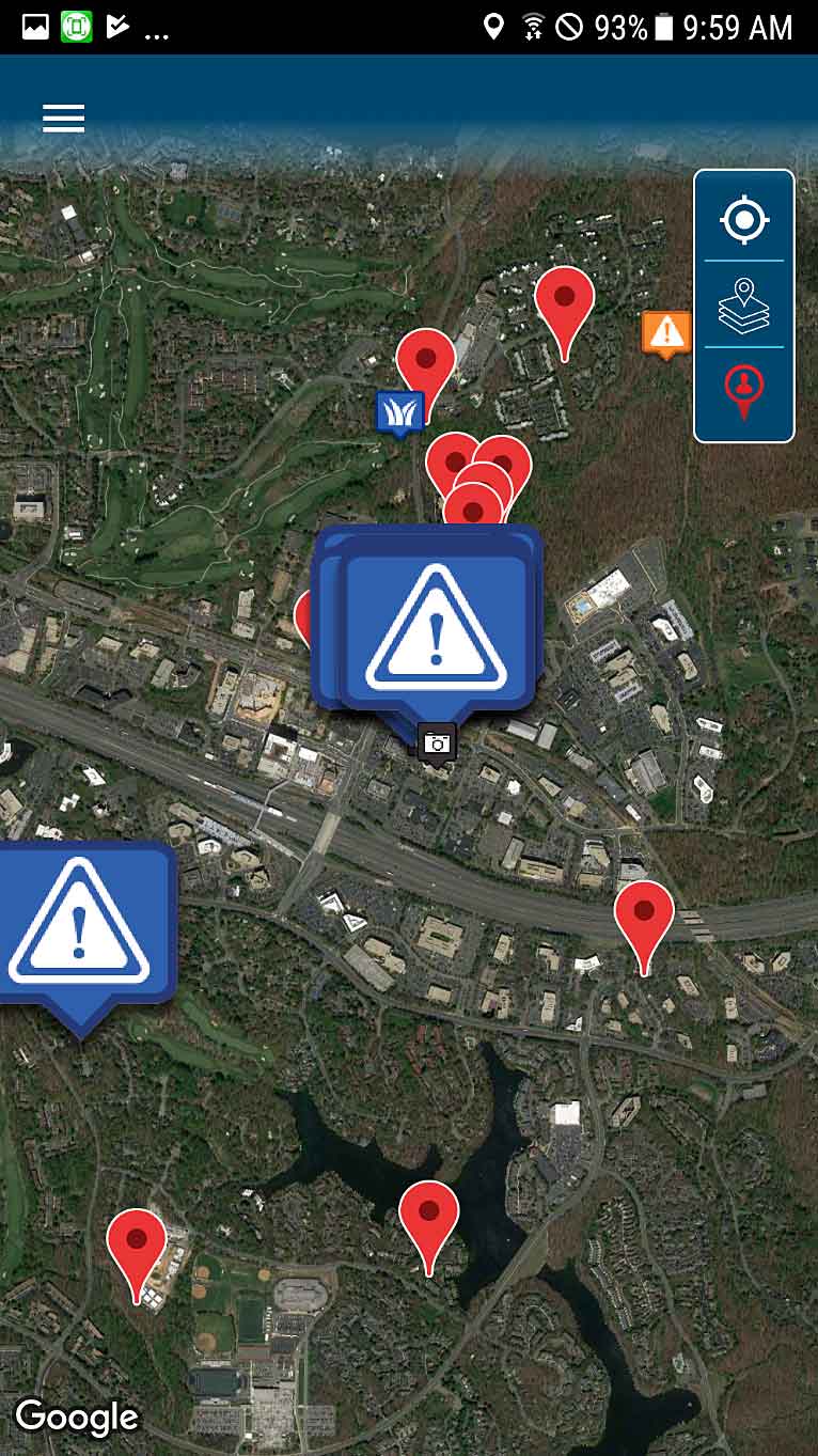
- View and report locations to other Watchtower users and display locations on the operational dashboard;
- Continuously update the user’s location;
- View other responders’ locations, incidents, vehicle locations and static GIS info (i.e., Command Control trailer, etc.) on a map; and
- View their physiological sensor information from available sensors (i.e., Hexoskin or Zephyr).
“Responders across the nation face numerous on-the-job challenges,” explains DHS S&T Program Manager Cuong Luu.
“At DHS S&T, we make it our mission to look for solutions to these challenges – such as the ones this free app addresses – to help make responders as safe as we possibly can.”
The app was initially tested on various smartphones during the June 2017 Next Generation First Responder Spiral 2 Technology Experiment in Grant County, Washington.


