


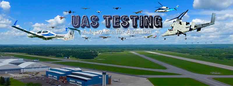
The Northeast UAS Airspace Integration Research Alliance (NUAIR Alliance) has selected Raytheon as a key partner in the development of America’s first and most advanced unmanned aircraft system-testing airspace corridor in New York state.
The NUAIR Alliance is a New York based not-for-profit coalition of more than 200 private and public entities and academic institutions working together to operate and oversee Unmanned Aircraft System (UAS) testing in New York, Massachusetts and Michigan.
Leading the research and deployment technologies for safe UAS operations in the nation’s airspace.
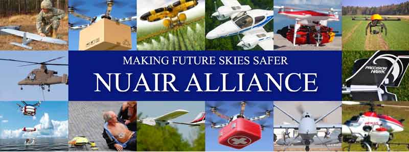
NUAIR Alliance Capabilities & Resources:
Manage the unprecedented financial investment from New York State for Project U-SAFE focused on Beyond Visual Line of Site (BVLOS) operations to include:
- $35 million for the world’s first 50 mile UTM corridor between Syracuse and Rome
- National UAS Standardized Testing and Rating Facility (NUSTAR)
(Unmanned Aircraft System (UAS) industry leaders gathered at Griffiss International Airport in Rome, New York for the launch of Phase One of a new 50-mile Drone Testing Corridor that will enable new business development opportunities in the region. The demonstration proved the instrumentation installed at Griffiss can see everything from large aircraft to small UAS (sUAS). The new drone corridor supports the Unmanned Aircraft System Secure Autonomous Flight Environment (U-SAFE) project led by NASA. Courtesy of NUAIR Alliance and Vimeo)
Raytheon’s Intelligence, Information and Services business will help plan, design, build and support the state’s next-generation air traffic management system to safely test and manage drones.
“UASs are playing an increasingly important role in our society, which means we must have low-altitude air traffic management solutions,” said Matt Gilligan, vice president of Raytheon’s Navigation, Weather and Services mission area.
“The New York airspace corridor is the first-of-its kind, but it won’t be the last.”
(Unmanned systems is a game-changing technology, and the major players are in Central New York. See how this region is becoming a global leader in the industry of tomorrow. Courtesy of NUAIR Alliance and Vimeo)
The new corridor will extend 50 miles (80 kilometers) west from Griffiss International Airport to Syracuse, which is one of only seven Federal Aviation Administration-approved unmanned aircraft systems test sites in America.
It will allow companies to test both drones and air traffic management technologies in real-world settings, generating valuable data that will inform industry and regulators and ultimately advance the commercial use of drones.

“We have identified the most qualified organizations to complete the New York UTM corridor and expand our UAS testing capabilities,” said Maj. Gen. Marke F. “Hoot” Gibson (ret), NUAIR Alliance’s chief executive officer.
“With all our state economic and technical support, I think we are well positioned to accelerate the UAS industry and further establish this region as a national leader.”
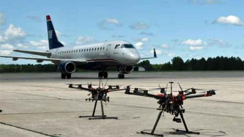
The New York Griffiss UAS Test Site (Griffiss) successfully completed a three-week national campaign in conjunction with the National Aeronautics and Space Administration (NASA) to further test and refine Unmanned Aircraft Systems (UAS).
(Learn More. Courtesy of NUAIR Alliance and Vimeo)
The UAS Traffic Management (UTM) campaign, known as Technology Capability Level 2 (TCL2), started on May 15, 2017 with flight tests focused on Beyond Visual Line-of-Sight (BVLOS) operations in sparsely populated areas to test the capability, evaluate and refine UTM technology prototypes.
The tests for TCL2 included flying fixed-wing and multi-rotor platforms of unmanned aircraft simultaneously at Griffiss International Airport to support real mission scenarios that included search and rescue, bridge, railway and runway inspection.
With the aircraft out of sight of the pilots view they were able to launch the aircraft, fly the designated mission, and land successfully multiple times.
The technology currently installed at Griffiss, along with visual observers, allows pilots to fly beyond line of sight (BLOS) and safely track and receive data from the aircraft that is transferred to NASA in real-time.
AX Enterprize, a NUAIR Alliance and Griffiss Partner, implemented a wireless network that enables continuous real-time Telemetry connectivity to the Griffiss Operations Center and seamless Command and Control (C2) of the UAS aircraft for BLOS missions.
AX Enterprize, a New York State Certified Women-Owned Small Business, leads the development and integration of tools, processes and procedures that provide the UAS Mission Commander, pilots and NASA continuous situational awareness of the aircraft.

Griffiss is leading the development of UAS test range instrumentation and surveillance coverage to provide a state-of-the-art operations and data management center and testing grounds for the development and experimentation of technologies for safe integration of UAS into the National Airspace (NAS).

“Being one of only seven FAA UAS test sites in the country is a significant advantage for Oneida County,” said Oneida County Executive Anthony J. Picente Jr.
“The partnership between Griffiss International Airport, NUAIR Alliance and NASA is one that continues to place our region on the forefront of this ever-growing industry.”
“These types of events are a great way to showcase the important work that is being done here and the strides that NASA is making in moving this technology forward.”
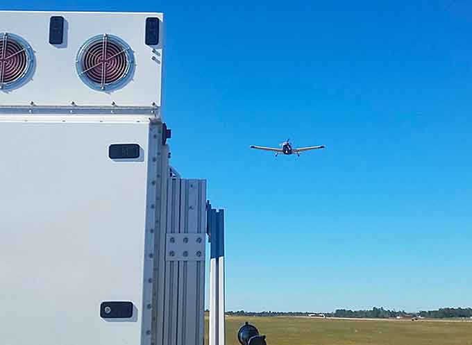
Raytheon’s leadership in air traffic management for the project includes the low-power radar, a small, one-meter square Active Electronically Scanned Array (AESA), software-defined radar unit.
When numerous LPRs are networked together, the radar units can cover and control the low-altitude flights of smaller craft—a feat not possible with current large radar systems.
A distributed, low-level LPR network could be created with relative ease, mounting the system atop current cell phone towers or tall buildings.
A LPR network could support:
- Safe plane and drone landings
- Aviation surveillance
- Precision weather observations (including 3-D wind information and urban hydrology)
- Small drone detection and tracking
- Border security and surveillance
- Wildfire detection
- Elevation and geographic gap fills


